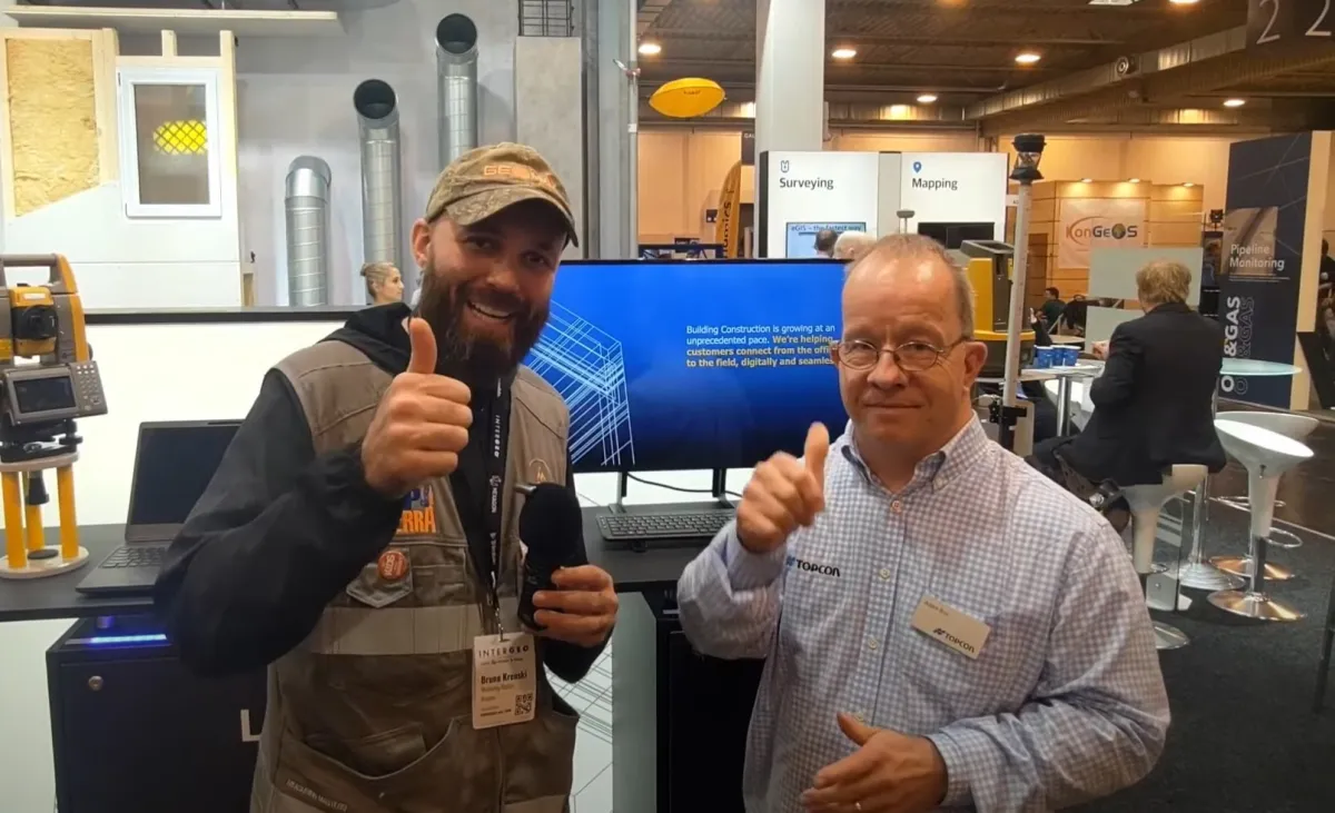
Topcon Positioning develops and manufactures precision positioning equipment for the surveying, construction and agriculture markets. In a video interview at INTERGEO, Adam from Topcon talks about the company’s new products, features and software.
One of Topcon’s main highlights this year is the GTL 1200, an updated model that adds Wi-Fi to transfer scans from the instrument to a Windows tablet. Users can collect scans and check them before leaving the site, so construction work can be verified quickly.
The GTL 1200 is a high-quality, purpose-built scanning total station, and its Windows tablet is rugged enough for job sites and fieldwork.
Topcon’s GLS 2200 is a dedicated scanner available in three versions, depending on the range the user needs. It is a high-quality instrument, and Topcon’s focus on accuracy means the data it produces can be trusted.
The lineup also includes total stations in several models to suit different requirements, from robotic to conventional (manual) instruments.
Topcon is also well known for GNSS, with several receiver models depending on the accuracy users need and the constellations they want to track. The receivers can also run in a hybrid setup, which opens up even more options.
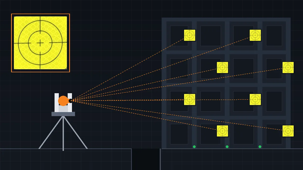
Finally, Topcon brings something new to construction layout: a dedicated layout total station with just three buttons, easy to use for crews whose job is to stake out points on site.
Overall, Topcon Positioning’s products are designed to help professionals work more efficiently and accurately in a wide range of environments. From the Wi-Fi-enabled GTL 1200 to its GNSS receivers and total stations, the company offers products for many different needs. Its dedicated software is also a key part of the offering, helping professionals carry out specific tasks effectively.
You can see more Topcon solutions on their website, and more interviews under the #INTERGEO tag.
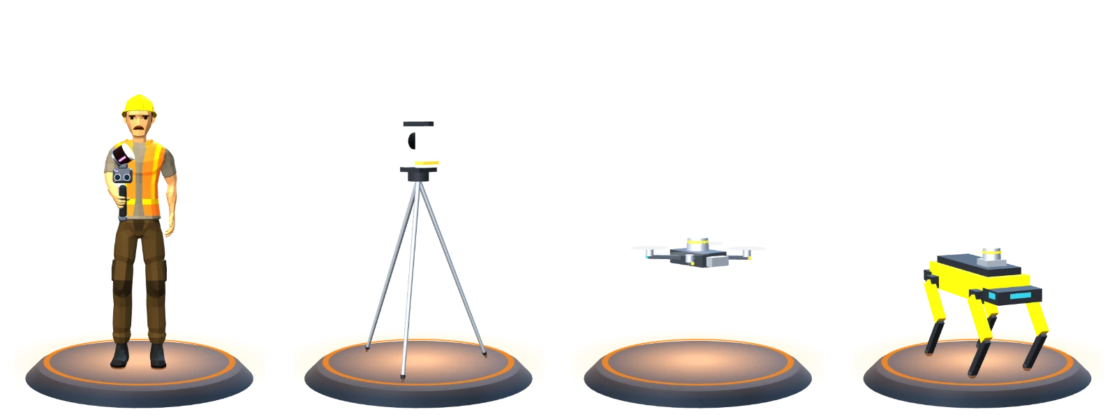

 Handheld SLAM
 Terrestrial laser scanner
 LiDAR drone
 Robot dog