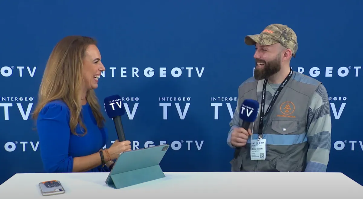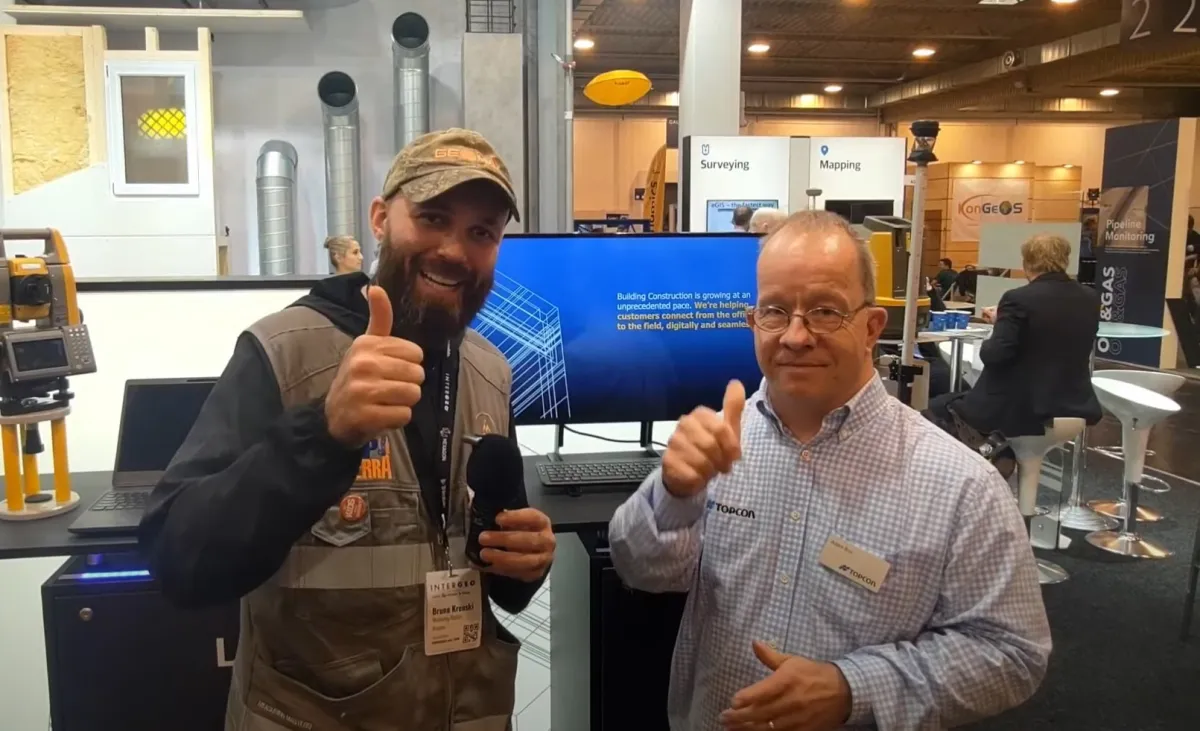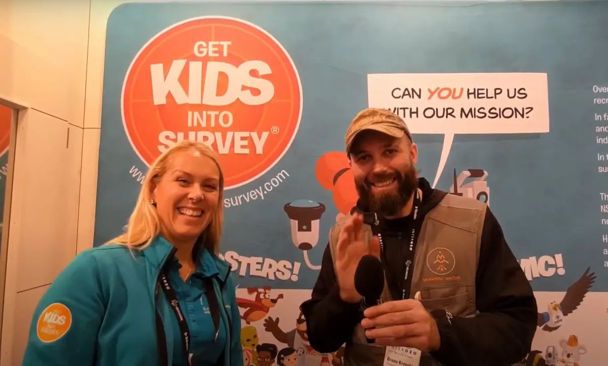
At INTERGEO 2022 in Essen, Germany, one of the largest geodesy and geoinformation trade fairs in the world, I stopped by the Get Kids Into Survey (GKIS) booth and talked with Elaine Ball, the founder of the project. As the GKIS ambassador in Brazil, I wanted to see up close how they get children interested in surveying, and what we could bring home. The full interview is in the video below (2:45).
What is Get Kids Into Survey
Get Kids Into Survey is an industry-funded project that introduces children under 12 to surveying and its careers through interactive posters and characters like Simon the alien. In Elaine's words, the mission is simple:
“Our mission is to get kids into survey.”
— Elaine Ball, Get Kids Into Survey, at INTERGEO 2022
The idea is that children learn early on that this profession exists, what a surveyor does and why this work matters for building cities, roads, bridges and maps.
Who it is for: kids under 12
The project focuses on children under 12. At this age they can learn the basic terms, understand how surveying works in practice and discover the different kinds of jobs in the field, such as:
- Land surveying: measuring the ground to build houses, roads and new neighborhoods;
- Hydrography: measuring and mapping the bottom of rivers, lakes and the sea;
- Cartography: turning those measurements into maps.
How it works: interactive posters and Simon the alien
GKIS creates interactive posters and homework projects for children to take part in. Kids can then share what they made on YouTube and TikTok, which helps spread the word about surveying to other kids and families.
The favorite character is Simon, an alien surveyor. He hides in a different spot on every poster, and the challenge is to find him, just like in “Where's Waldo?”. It is a fun way to make kids look at the poster carefully and learn along the way.
The booth was a big hit: they brought more than 600 posters, and all of them were gone. For anyone who missed out, Elaine said they can ship posters directly from the United States.
Who funds the project
Get Kids Into Survey is funded entirely by private industry: surveying and geospatial companies sponsor the posters and the characters. It is a good example of how the industry itself can invest in training the professionals of the future.
Why introduce surveying to kids
Surveying is behind almost everything around us (the house we live in, the street, the bridge, even the map on our phone), yet few people know the profession exists. Someone who has never heard of it is unlikely to choose it as a career. Showing kids early, in a fun way, that there are people who measure the world is the first step to training new surveyors.
5 surveying activities to do with kids
Inspired by GKIS, here are simple activities to do at home or at school, no expensive equipment needed:
- Map of the bedroom or classroom: on graph paper, each square is 50 cm. The child measures the furniture with a tape measure and draws everything to scale. That is the idea behind a survey plan.
- Measure by pacing and with a tape: count how many paces long the backyard or the playground is, then measure it with a tape and work out the length of the child's pace. Surveyors of the past measured distances this way!
- Treasure hunt with coordinates: draw a grid on the playground with letters and numbers (A1, B3…) and hide clues at the coordinates. With older kids, use GPS coordinates on a phone.
- Hose level: a clear hose filled with water shows that the water always settles at the same height at both ends. That is the principle of leveling, and builders still use hose levels on job sites today.
- Calculate the area you measured: with the measurements from activity 2, work out the area together in our area and perimeter calculator. Then play the Surveying Arcade, with mini-games about staking out, leveling and aiming.
How to learn more and support Get Kids Into Survey
On the official Get Kids Into Survey website you will find the posters, the characters and the projects to download. Follow the project on social media too. If you are a teacher, a surveyor or work for a company in the industry and want to bring the idea to a school, get in touch with us.
Frequently asked questions
What does a surveyor do?
A surveyor measures the land: distances, angles and heights, with equipment such as a total station, GNSS (high-precision GPS), a level and drones. With those measurements they draw plans and maps, stake out where houses, roads and bridges will go, and help establish property boundaries.
What is the difference between topographic surveying, land surveying and cartography?
Topographic surveying is measuring and drawing a small area of land, such as a lot or a construction site. Land surveying (boundary or cadastral surveying) deals with measuring and dividing land: marking boundaries, subdividing parcels and registering property. Cartography is the science of making maps, usually of larger areas, from surveys, satellite images and aerial photos.
Find more interviews with surveying professionals on our blog.
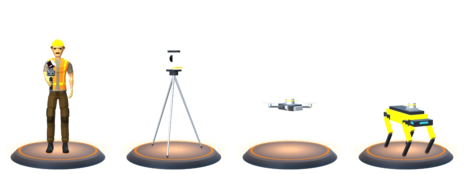
 Handheld SLAM
 Terrestrial laser scanner
 LiDAR drone
 Robot dog